The Sahel spans 5,900 km (3,670 mi) from the Atlantic Ocean in the west to the Red Sea in the east, in a belt that varies from several hundred to a thousand kilometers (c. 600 miles) in width, covering an area of 3,053,200 square kilometers (1,178,850 sq mi). It is a transitional ecoregion of semi-arid grasslands, savannas, steppes, and thorn shrublands lying between the wooded Sudanian Savanna to the south and the Sahara to the north.
The topography of the Sahel is mainly flat; most of the region lies between 200 and 400 meters (660 and 1,310 ft) in elevation. Several isolated plateaus and mountain ranges rise from the Sahel but are designated as separate ecoregions because their flora and fauna are distinct from the surrounding lowlands. Annual rainfall varies from around 100–200 mm (4–8 in) in the north of the Sahel to around 700–1,000 mm (28–39 in) in the south.
UNITED NATIONS SUPPORT PLAN
Working together for a prosperous and peaceful Sahel
The overarching goal of the UN Support Plan for the Sahel, targeting 10 countries to scale up efforts to accelerate shared prosperity and lasting peace in the region.
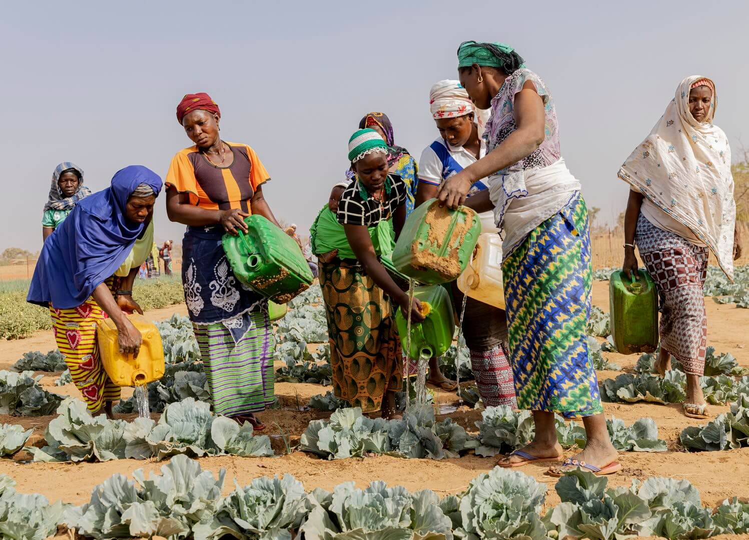
The Sahel, the vast semi-arid region of Africa separating the Sahara Desert to the north and tropical savannas to the south, is as much a land of opportunities as it is of challenges. It is endowed with abundant human, cultural and natural resources, offering tremendous potential for rapid growth.
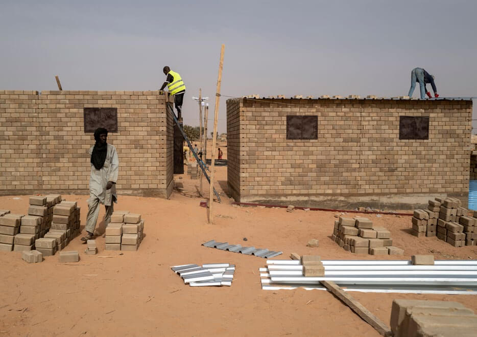
Therefore, the United Nations Secretariat, Agencies, Funds, Programmes and Country Teams, are working assiduously with the people of the Sahel to meet their objective to establish a peaceful and prosperous Sahel. The UN is doing this under the auspices of the United Nations Integrated Strategy for the Sahel (UNISS), which is at the center of the international response in the Sahel in accordance with Security Council Resolution 2391 (2017).